CENAGIS IT Platform
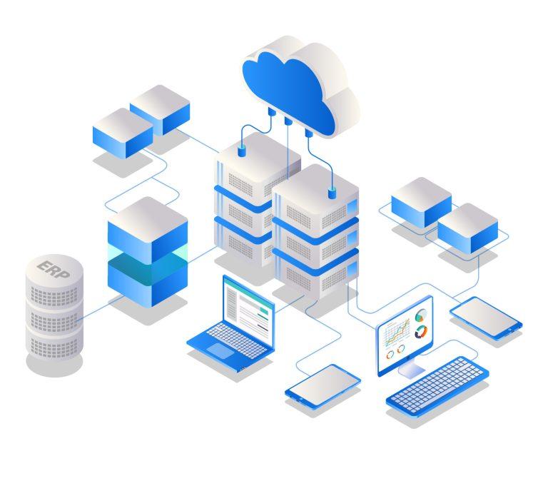
is a computing center dedicated to geospatial data analytics. The center is based on an advanced IT infrastructure that allows geospatial analysis and satellite calculations.
Geospatial Analysis Platform
- Working in the cloud
- Virtualization
- Configured access to harmonized spatial data
- Space for your own working data
- A wide range of analytical software
- Ability to expand the platform with custom software/algorithms
- Release of research results
- Ability to create Virtual Research Teams
![](https://cenagis.edu.pl/wp-content/uploads/2021/05/triangle_gray.png)
![](https://cenagis.edu.pl/wp-content/uploads/2021/05/tablet_tel.png)
Virtual machines
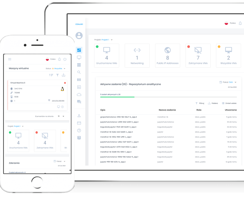
Access to a virtual computer with a choice of operating system, computing power and installed software. Ability to connect spatial data resources available in CENAGIS, work with GIS tools and prototype your own analytical solutions.
![](https://cenagis.edu.pl/wp-content/uploads/2023/02/vecteezy_web-layout-programming-language_-768x640.jpg)
Big Data environment
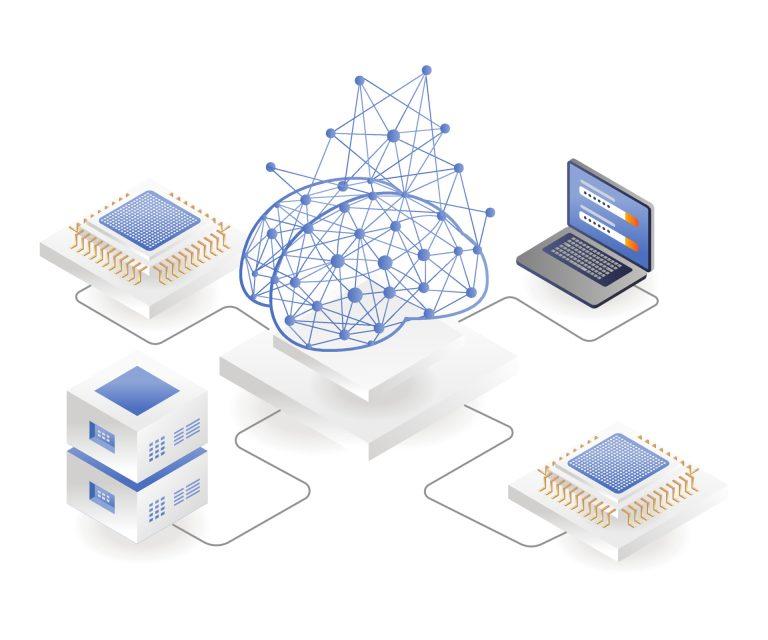
A set of hardware and software providing a unified environment designed for Spatial Big Data research. Access to a computing cluster equipped with the ability to analyze large-scale spatial data using the Apache Spark environment and large computing power (including graphics cards).
![](https://cenagis.edu.pl/wp-content/uploads/2023/02/vecteezy_artificial-intelligence-with-brain-chips_-768x640.jpg)
Professional use
Ability to implement custom solutions and service prototypes using the computing power, software and data available on the CENAGIS platform.
![](https://cenagis.edu.pl/wp-content/uploads/2023/02/vecteezy_cloud-server-analytics_-768x681.jpg)
Predefined analyses
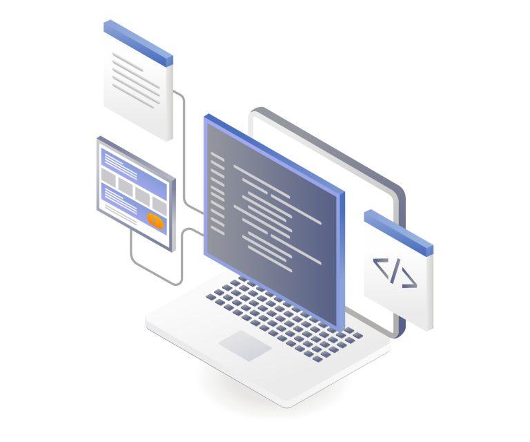
A set of pre-defined, various analytical tools allowing you to access them directly from a web browser. Predefined analyses allow you to get acquainted with the capabilities of the platform in just a few clicks.
![](https://cenagis.edu.pl/wp-content/uploads/2023/02/vecteezy_location-search-on-map_4689074-768x640.jpg)
How to create an account
to the Geospatial Analysis Platform?
![](https://cenagis.edu.pl/wp-content/uploads/2021/05/how_contact.png)
Contact us
If you want to use the Geospatial Analysis Platform or have other questions, please contact us.
![](https://cenagis.edu.pl/wp-content/uploads/2021/05/how_sign.png)
Sign the contract
We will prepare the necessary documents and ask you to sign them.
We will activate your account within 1-3 business days after signing the contract.
![](https://cenagis.edu.pl/wp-content/uploads/2021/05/how_use.png)
Use CENAGIS
Create analysis, use innovative solutions, share the results of your work with others.