
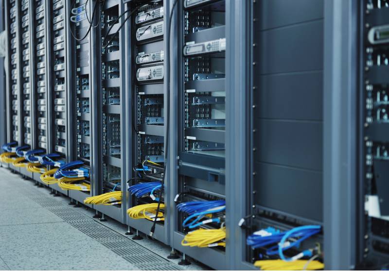


 CENAGIS as infrastructure in the CitCom.ai project – technologies for cities that think about the futureNews15 August 2025The Citcom.ai (AI Testing and Experimentation Facility for Smart and Sustainable Cities and Communities) project is creating one of four European artificial intelligence
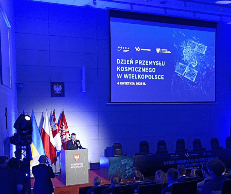 CENAGIS as Part of ESA Phi-Lab Poland InfrastructureNews7 April 2025On April 4, 2025, during the Space Industry Day in Poznań, the official launch of ESA Phi-Lab Poland took place. ESA Phi-Lab Poland is a joint initiative between Poland and
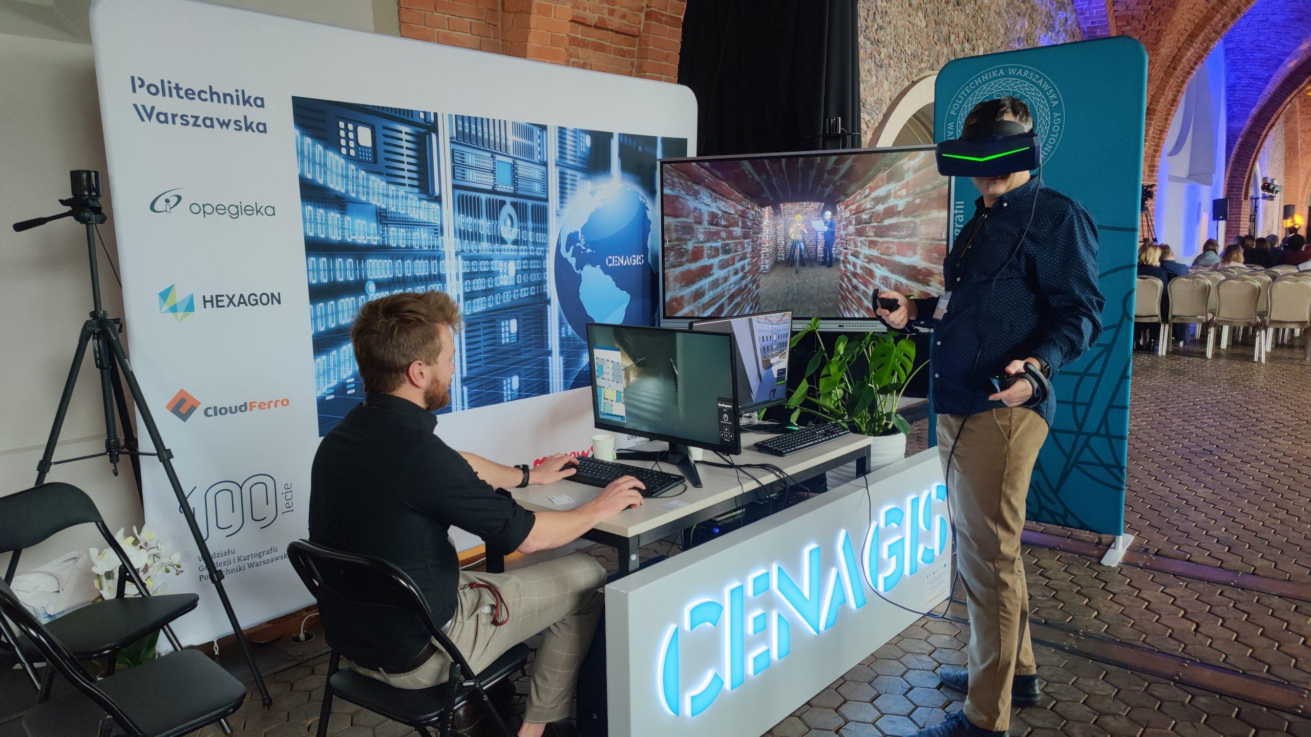 CENAGIS stand at the “Museum of Tomorrow” conference at the Royal Castle in WarsawNews18 November 2024On November 14-15, 2024, the team of the Center for Geospatial and Satellite Analysis (CENAGIS) of the Faculty of Geodesy and Cartography at Warsaw University of Technology