What is
Geomatics and geoinformation
CENAGIS thematic specialization
GEOMATICS is the discipline that deals with the acquisition, analysis, storage, interpretation, processing, dissemination and practical application of geo-information (PTIP Internet Geomatics Lexicon).
GEOINFORMATION is information about phenomena or objects containing a direct or indirect reference to a location relative to the Earth. The word GEOINFORMATION is also abbreviated to geographic information science.
GEOINFORMATION SCIENCE (GIScience – Geographic Information Science) refers to the scientific context of spatial information processing and management, including related technologies.
GIScience addresses geographic information issues in the context of data structures, analysis, accuracy, meaning, cognition, visualization and more, and thus overlaps with the domains of several traditional disciplines that deal with the physical processes of the Earth or the way humans interact with the Earth (e.g. geography, geology and geology, geophysics, oceanography, ecology, environmental science, applied mathematics, spatial statistics, physics), as well as disciplines concerned with how humans interact with machines (e.g., computer science, information science, cognitive science, cognitive psychology, artificial intelligence).
GEOINFORMATICS is a discipline closely related to INFORMS, based on and developing information technology in the area of geospatial data modelling, storage, management and processing, as well as the development of geo-information systems and applications.
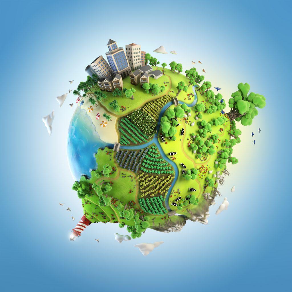
Nowadays, geospatial information is essential for many areas of life, such as urban planning, spatial management, environmental protection, agriculture, transportation, tourism, and forensics. Therefore, geomatics and geoinformation are crucial for scientific research and decision-making in many fields.
Thanks to technological advances, we can collect increasing amounts of geospatial data using various sources such as satellites, sensors, and cameras, as well as mobile devices such as smartphones and tablets. Then, this data is processed using specialised tools and techniques, such as geographic information systems (GIS), photogrammetry and remote sensing.
By analysing this data, we can obtain a lot of valuable information about, for example, landforms, the layout of objects, buildings and their interiors or changes in a given place over time. This information can be used to solve various problems and make local, regional and even global decisions.
That is why the CENAGIS Center was established to help access, explore, process and store spatial data.