Introducing
Research teams
TEAM OF THE CENTER OF GEOSPATIAL ANALYSIS - CENAGIS
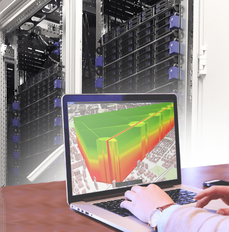
The team, consisting of staff from various departments, has been conducting interdisciplinary research in geoinformation in cooperation with other research teams of the Warsaw University of Technology and other universities and research institutes. Since 2020, it has been using for this purpose the cyberinfrastructure of geospatial information CENAGIS. The team’s activities are focused on automation and efficient processing, analysis, and visualization of geospatial big data, including satellite images, aerial photos, point clouds from laser scanning, and various spatially referenced vector data.
Previous clients of the team include:
Head Office of Geodesy and Cartography, Digitization Department of the Capital City of Warsaw, Municipality of Żuromin, OPEGIEKA, Comtegra, Cloudferro, Tensorflight and Cenatorium.
- analysis of large sets of geospatial data and development of algorithms for spatial analyses
- verification of scientific hypotheses related to phenomena in geographic space
- detection of phenomena and objects in space
- detection of relations and interdependencies of phenomena and objects in space
- creation of models of phenomena, processes, and objects related to geolocation
- testing data used in navigation applications
- integration and analysis of 3D airborne, satellite, and ground data
- processing and integration of multi-sensor satellite data and multi-source geospatial data
- development of innovative concepts of cartographic visualization
- expert opinions on spatial data quality and compatibility of data models with standards
dr hab. inż. Dariusz Gotlib, prof. uczelni
dariusz.gotlib@pw.edu.pl