On March 31, 2021, the Warsaw University of Technology – Faculty of Geodesy and Cartography signed a cooperation agreement with the Central Office of Geodesy and Cartography.
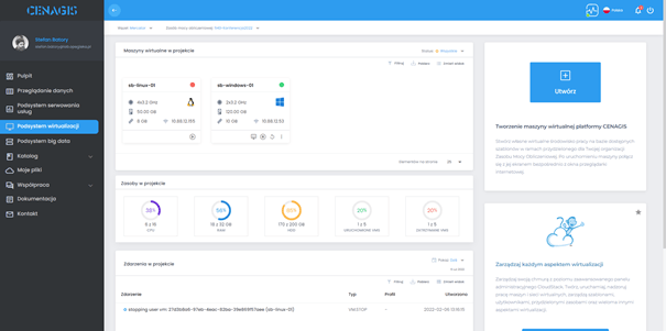
The parties agreed to mutually exchange: data, services and knowledge for the development of the Spatial Information Infrastructure and to use for this purpose the scientific analytical infrastructure developed within the framework of the project entitled “Center for Scientific Geospatial Analysis, Satellite Computing with Test/Certification Laboratories for Geomatics Products (CENAGIS).”


