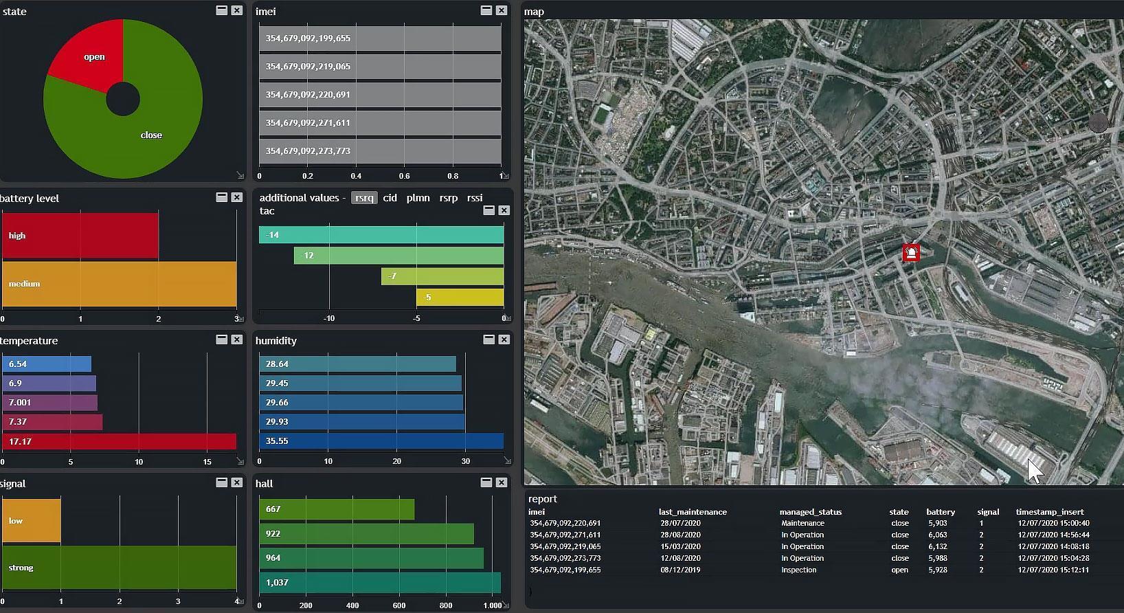
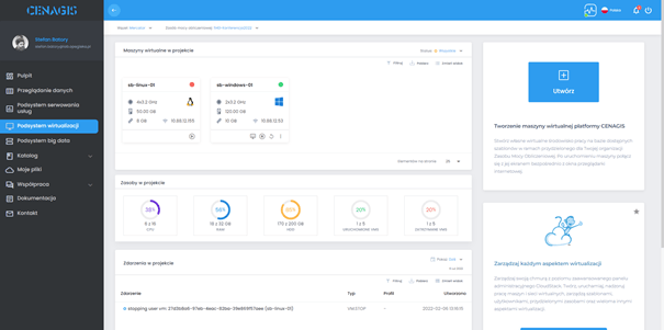
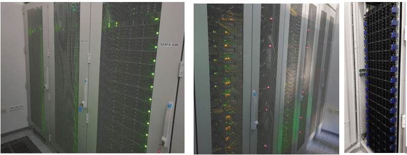
Official launch of the CENAGIS platform and labs
On June 21, 2023, a closing ceremony of the CENAGIS project and the official launch of the new infrastructure and scientific laboratories was held at the Warsaw University of Technology.…
On March 30, 2023, Warsaw University of Technology signed a cooperation agreement with the Polish Ministry of Economic Development and Technology. One of the goals of the signed agreement is…
On December 2 and 16, 2022, another workshop was conducted for the scopes of using Hexagon's M. App Enterprise tool. It is planned to continue in January or February 2023.
On February 25, 2022, a workshop was held for the Organizational and Technical Coordinators of the Scientific Analysis-Geospatial Network. The purpose of the workshop was to test the process of…
As part of the agreement signed on 12/11/2021, the Polish Space Agency has made the S2GLC PL2020 land cover map available to CENAGIS users and will provide further updates to…
As part of the implementation of the CENAGIS project, FME software has been purchased after a bidding process, which will be an important component of the Geospatial Analysis Platform. FME…
On May 27, 2021, the second meeting of the Scientific Council of the Geospatial Analysis Scientific Network was held. Due to the pandemic, the meeting of the Network Council was…
On March 31, 2021, the Warsaw University of Technology - Faculty of Geodesy and Cartography signed a cooperation agreement with the Central Office of Geodesy and Cartography. The parties agreed…
In September, the installation of the IT infrastructure in the server rooms of the Warsaw University of Technology was completed. Advanced software configuration and tests are currently underway. The first…