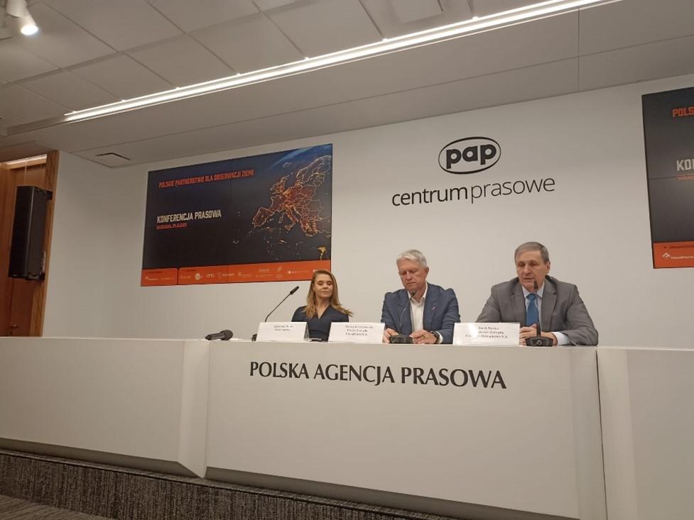
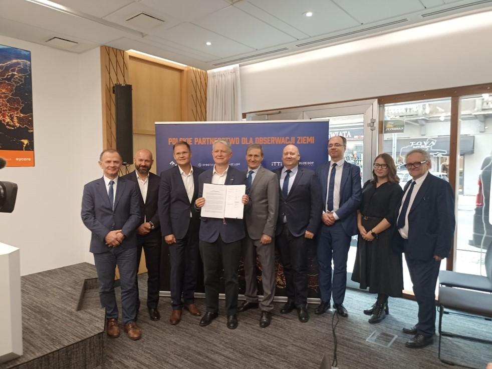
On October 24, 2024, during a conference at PAP, the Polish Partnership for Earth Observation was established, aiming to close cooperation between domestic companies and scientific and educational institutions in shaping Polish space policy and developing new technologies for imaging the globe. The joint initiative is a response to the growing importance of satellite data in economy and security. It is a strategic step toward building Poland’s autonomous capabilities as a European leader in satellite-based Earth imaging.
We are pleased that the Center for Geospatial and Satellite Analyses (CENAGIS), operating at the Faculty of Geodesy and Cartography of the Warsaw University of Technology, has become a signatory to this Agreement. The joint activities involved 7 companies, i.e. CloudFerro, Creotech Instruments, KP Labs, ITTI, Blue Dot Solutions, GISPartner, Eycore, as well as the Space Research Center of the Polish Academy of Sciences and the Space Technology Center of AGH.
The initiative is open to additional members. Signatories have pledged joint efforts to build Polish capacity and competence in Earth observation. These, in turn, are expected to contribute to the development of Polish autonomy in this area, enabling the country to respond effectively to geopolitical and environmental challenges and crisis situations.
As representatives of the initiators of the agreement, i.e. Creotech and CloudFerro, stressed, the area of Earth observation today deserves special attention, both from business and public administration. This is because it has become a Polish specialization in the space sector, and the achievements and capabilities of domestic companies make Poland play an important role, for example, in current satellite operations commissioned by the European Commission.
The partnership has defined four main pillars of action:
- Shaping Poland’s space strategy
- Strengthening Polish competence in the field of Earth observation
- Increasing investment in satellite observation technologies
- Cooperation with research and scientific units
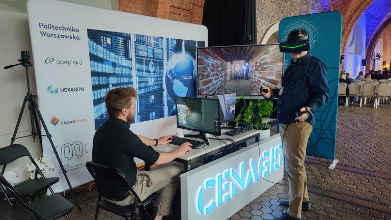
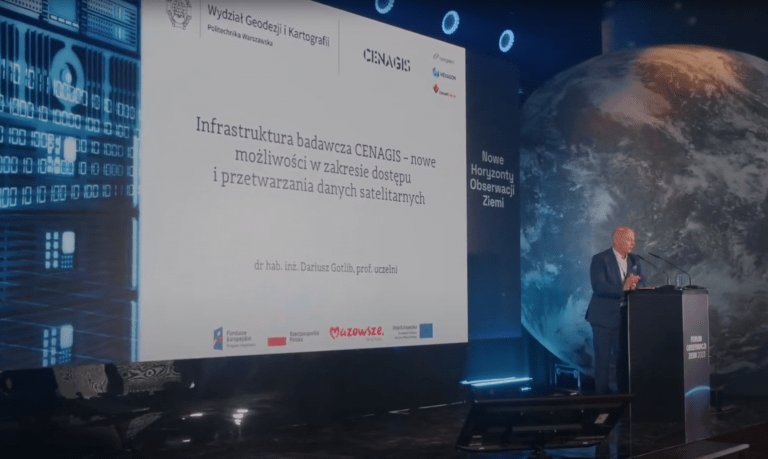
The Center for Geospatial and Satellite Analysis (CENAGIS) specializes primarily in the processing and analysis of geospatial and GNSS data and can effectively assist companies in the R&D area. There is great potential to support the development of Earth observation techniques and methods at Warsaw University of Technology within its many faculties and various specializations. As was emphasized at the conference, as well as scientific support, we need continuous training of highly qualified personnel, which our university does very well.


