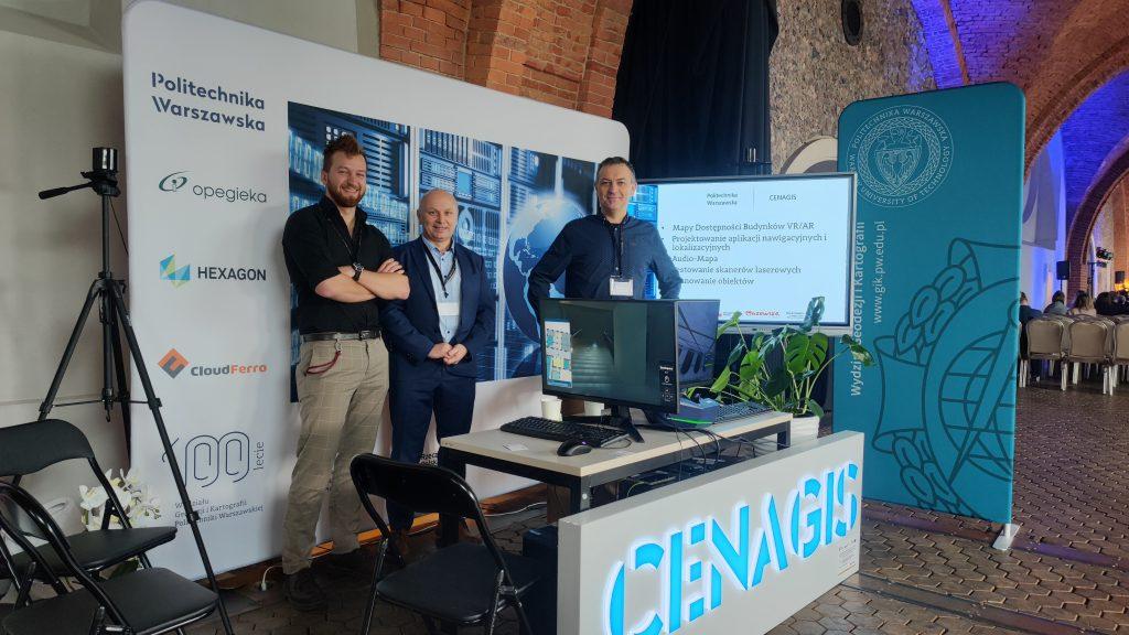
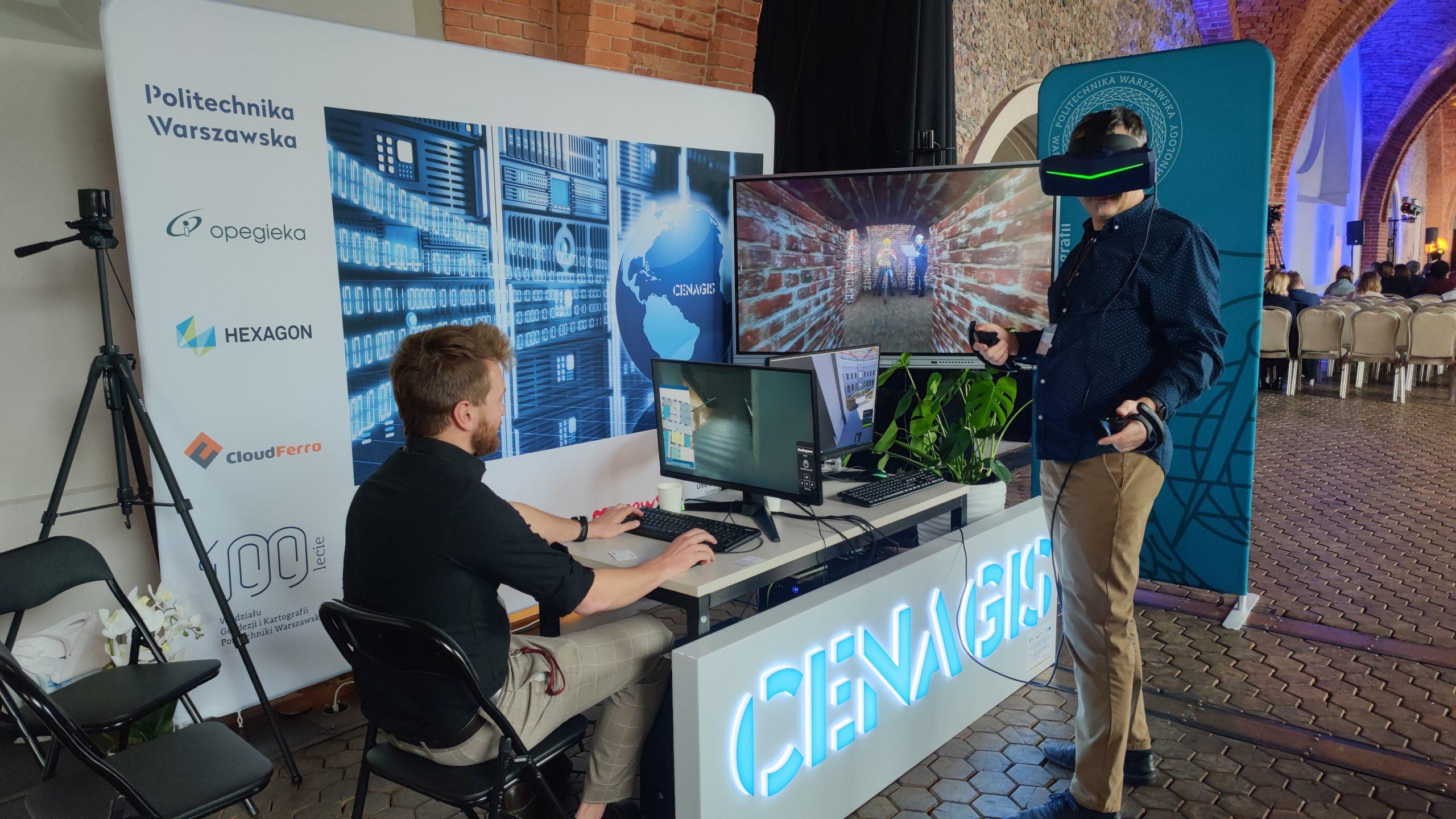
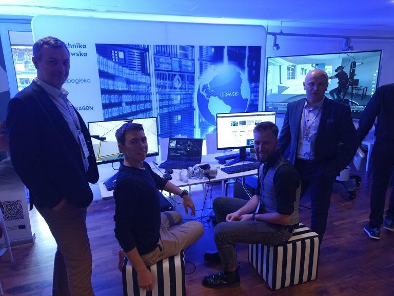
On November 14-15, 2024, the team of the Center for Geospatial and Satellite Analysis (CENAGIS) of the Faculty of Geodesy and Cartography at Warsaw University of Technology had the pleasure of presenting a booth at the “Museum of Tomorrow” conference, which we co-organized. This time we presented products that work on the basis of our IT infrastructure (CENAGIS IT Platform), as well as the broader offer of the Department of Geodesy and Cartography addressed to museums. Among other things, we presented our capabilities in terms of assisting in scanning historical objects, verifying scanners and data acquired in scanning processes, 3D modelling, creating maps of museums for navigation applications, virtual guides, etc.
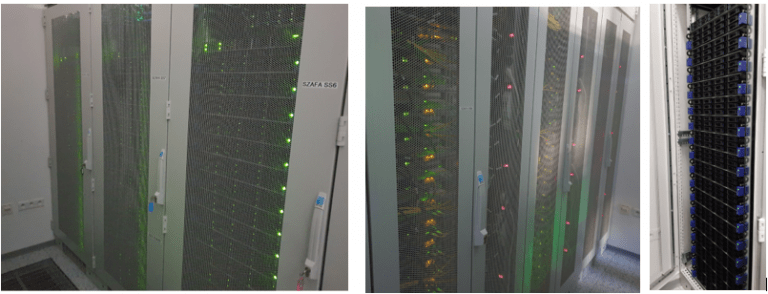
The CENAGIS platform is an environment for running many geospatial applications and services, examples of which include implementations of Map PW, Audio-Map PW, PW Navi (more: https://www.pw.edu.pl/aktualnosci/aplikacje-ktore-pomoga-poruszac-sie-po-uczelnianych-budynkach) or the “Maps with the Past” portal.
At the booth, we also presented the possibilities of implementing virtual tours using VR technology, including a testing environment for navigation applications. We are ready to support the process of designing, testing, and implementing similar solutions in museums with knowledge and experience. Many museums are already implementing exciting and advanced solutions, and we can do even more together.
